MAKE A MEME
View Large Image

| View Original: | Yugoslavia topographic base map.svg (1600x1600) | |||
| Download: | Original | Medium | Small | Thumb |
| Courtesy of: | commons.wikimedia.org | More Like This | ||
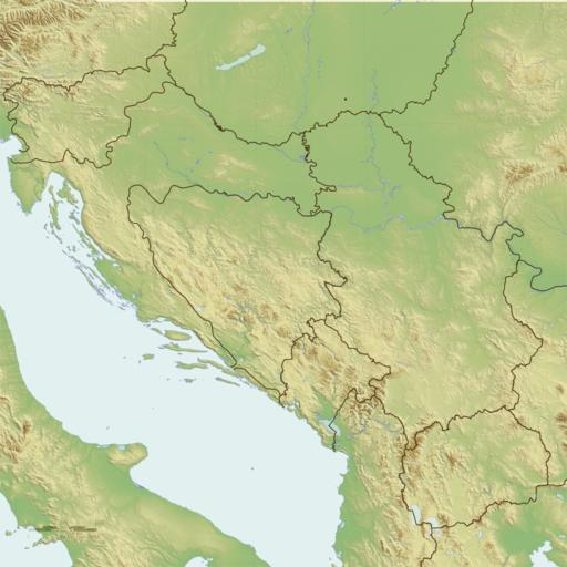
| Keywords: Yugoslavia topographic base map.svg Yugoslavia Data from SRTM3 and SWBD public domain NASA data processed with GRASS GIS Modern national boundaries from VMAP0 Projection w Lambert Conformal Conic with Lat0 44N Lat1 41N Lat2 47N Lon0 18 5E Coastlines and borders are vectorised SVG layers; relief colouring and shading is an embedded PNG bitmap own Future Perfect at Sunrise 2009-12-01 <gallery> File Regnum Sclavorum 754 AD PNG Regnum Sclavorum File Map_of_the_republics_of_Yugoslavia_mk svg Map of the Yugoslav republics in Macedonian </gallery> SVG maps of Yugoslavia Maps of the Breakup of Yugoslavia Topographic shading Topographic maps of Yugoslavia | ||||