MAKE A MEME
View Large Image
| View Original: | Willamette Lowland basin-fill aquifer extent.gif (387x525) | |||
| Download: | Original | Medium | Small | Thumb |
| Courtesy of: | commons.wikimedia.org | More Like This | ||
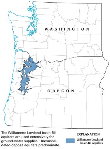
| Keywords: Willamette Lowland basin-fill aquifer extent.gif en Map showing Willamette Lowland basin-fill aquifer extent includes Oregon and Washington State with county boundaries with aquifer coloured blue date http //water usgs gov/ogw/aquiferbasics/images/ext_willamette gif US Geological Survey other versions PD-USGov Geological maps of Oregon Maps of Oregon Aquifers | ||||