MAKE A MEME
View Large Image
| View Original: | Watuppa_Ponds_USGS_map.jpg (713x753) | |||
| Download: | Original | Medium | Small | Thumb |
| Courtesy of: | commons.wikimedia.org | More Like This | ||
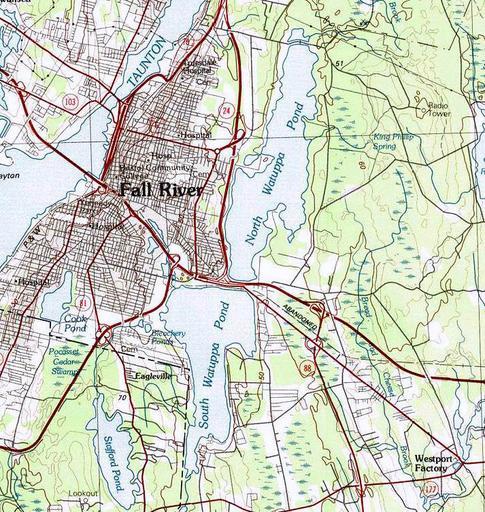
| Keywords: Watuppa Ponds USGS map.jpg en Map of Watuppa Ponds and surrounding areas Fall River and Westport Massachusetts 1984 USGS Providence Quadrangle Map 1 100 000 scale United States Geological Survey PD-USGov Uploaded with UploadWizard Maps of Fall River Massachusetts Westport Massachusetts | ||||