MAKE A MEME
View Large Image
| View Original: | Washington_State_Route_397_(2010_TL_and_2005_NHPN).png (1335x727) | |||
| Download: | Original | Medium | Small | Thumb |
| Courtesy of: | commons.wikimedia.org | More Like This | ||
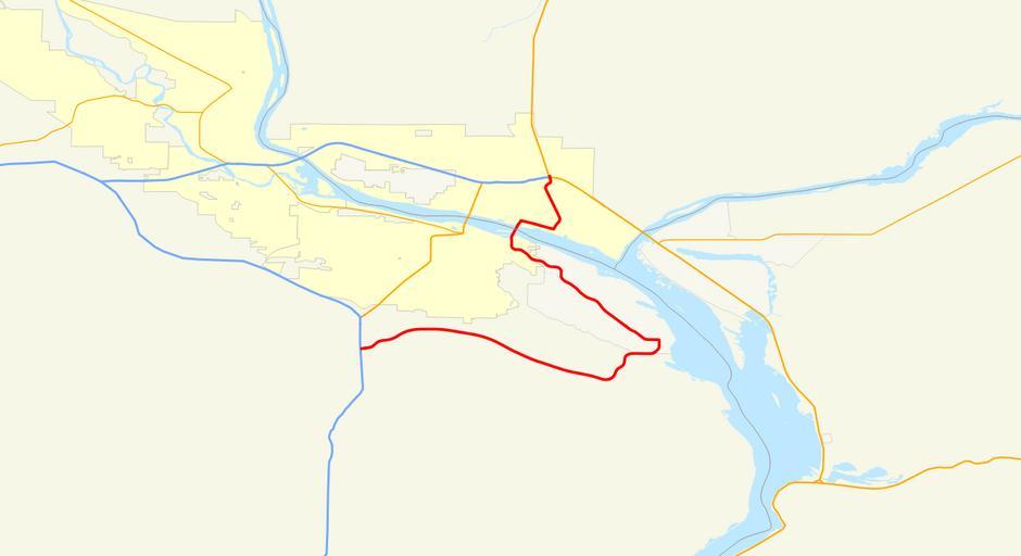
| Keywords: Washington State Route 397 (2010 TL and 2005 NHPN).png A map of Washington State Route 397 highlighted in red This image was created using data from http //www census gov/geo/www/tiger/tgrshp2010/tgrshp2010 html 2010 Census TIGER/Line® Shapefiles and http //www fhwa dot gov/planning/processes/tools/nhpn/ The National Highway Planning Network as well as a KML file created using Google Earth 2012-08-12 Own with data from the United State Census Bureau and The National Highway Planning Network Allen4names Original data PD-USGov Image GFDL Cc-by-3 0 2 5 2 0 1 0 Road maps of state highways in Washington state 397 Washington State Route 397 | ||||
.png)