MAKE A MEME
View Large Image
| View Original: | Wartheland.png (1682x1772) | |||
| Download: | Original | Medium | Small | Thumb |
| Courtesy of: | commons.wikimedia.org | More Like This | ||
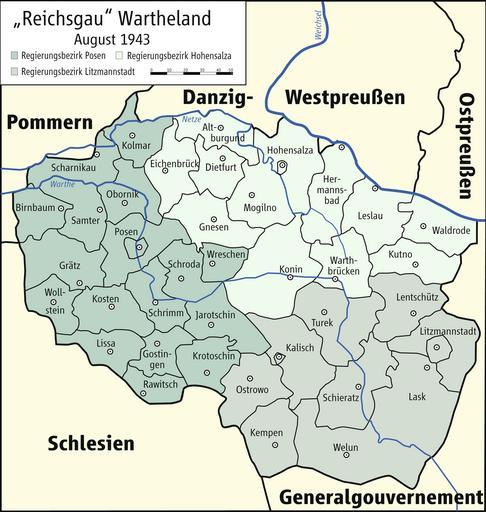
| Keywords: Wartheland.png en Map of Reichsgau Wartheland 1943 de Karte des Reichsgaus Wartheland 1943 own Kgberger 2009-01-26 unknown Kartenwerkstatt Maps of Nazi Germany Maps of Poland during World War II 1943 | ||||