MAKE A MEME
View Large Image
| View Original: | Wake Island 2.jpg (330x317) | |||
| Download: | Original | Medium | Small | Thumb |
| Courtesy of: | commons.wikimedia.org | More Like This | ||
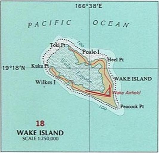
| Keywords: Wake Island 2.jpg InteractiveViewer en National Atlas of the United States page Pacific Outlying Areas with map insets Wake Island 2004-08-27 15 17 16 https //www lib utexas edu/maps/national_atlas_1970/ca000040 jpg United States Department of the Interior other versions National Atlas of the USA 1970 - Pacific Outlying Areas jpg Majuro and Arno Atolls jpg Okinawa-Guntō jpg Yonaguni-Jima jpg Sakashima-Guntō jpg Palau Islands jpg Truk Islands jpg Ulithi Atoll jpg Yap Islands 2 jpg Senyavin Islands jpg Kusaie Kosrae jpg Saipan and Tinian 2 jpg Eniwetok Atoll jpg Rota 2 jpg Bikini Atoll jpg Bikini Atoll 2 jpg Jaluit Atoll jpg Kwajalein Atoll jpg Kwajalein Atoll 2 jpg Majuro and Arno Atolls 2 jpg PD-USGov National Atlas of the United States Maps of Wake Island | ||||