MAKE A MEME
View Large Image
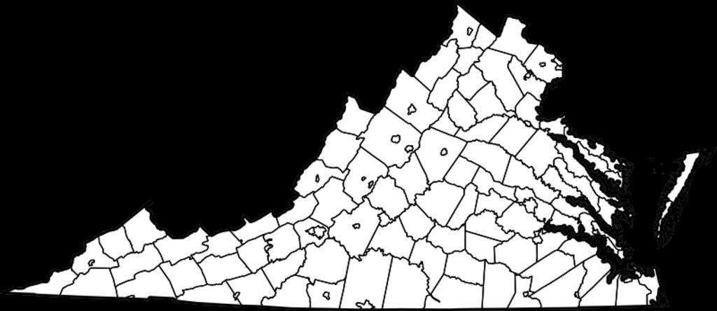
| View Original: | Virginia map.png (800x347) | |||
| Download: | Original | Medium | Small | Thumb |
| Courtesy of: | commons.wikimedia.org | More Like This | ||
| Keywords: Virginia map.png Map of Virginia counties and cities svg Die Karte zeigt Virginia in den USA - Um die Karte z ĀB gemeinsam mit einem roten Punkt zur Bezeichnung einzelner Orte in Virginia abzubilden siehe die entsprechende Vorlage in der deutschen Wikipedia einfach kopieren und hinter map dann Virginia_map png schreiben This is a map showing Virginia in the United States of America - You can use this map for example as a locator map by simply displaying a dot on top of it note Some Wikipedias use simple templates for that e g see the syntax for that template of the German Wikipedia website Image Map of Virginia highlighting Charlottesville City svg and Image Map of Virginia highlighting Alexandria City svg upload of original maps 12 February 2006 map of Virginia original maps David Benbennick<br/> derivative map without marker Ibn Battuta Dbenbenn Maps of Virginia | ||||