MAKE A MEME
View Large Image
| View Original: | View_looks_south_45_degrees_across_lodgepole_pile_flats_to_fir_ridge_between_Bear_Butte_and_Round_Top._Trees_in..._-_NARA_-_298885.tif (3000x1706) | |||
| Download: | Original | Medium | Small | Thumb |
| Courtesy of: | commons.wikimedia.org | More Like This | ||
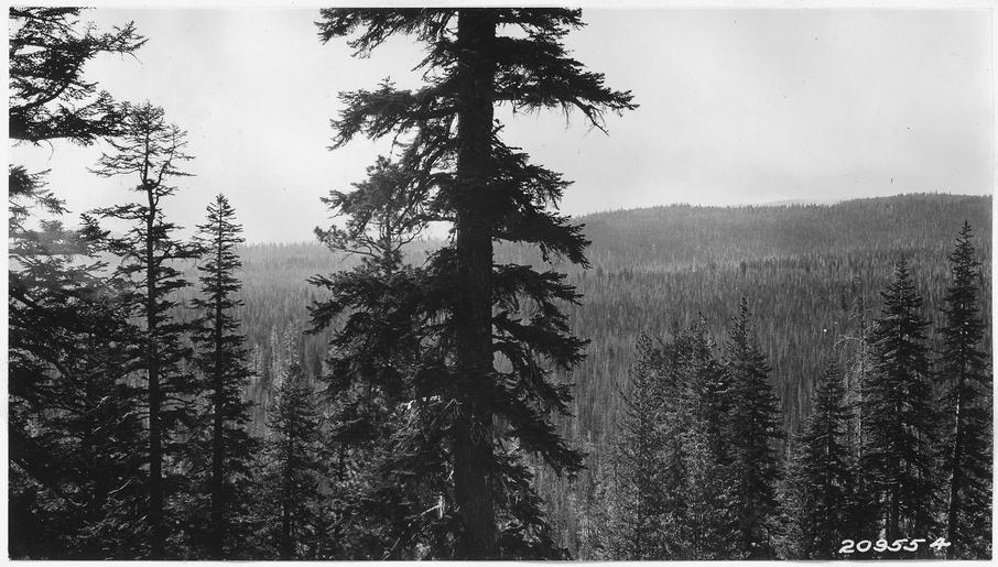
| Keywords: View looks south 45 degrees across lodgepole pile flats to fir ridge between Bear Butte and Round Top. Trees in... - NARA - 298885.tif Scope and content Series contain a number of reports relating to boundaries and various Park areas Many of these have photos General notes 298885 Local identifier Department of the Interior National Park Service Crater Lake National Park 03/02/1934 - NARA's Pacific Alaska Region Seattle NRIAS 6125 Sand Point Way NE Seattle WA 98115-7999 other date ~ 1935 Record group Record Group 79 Records of the National Park Service 1785 - 2006 Record group ARC 408 Park Files compiled ca 1919 - 1953 Series ARC 298879 File unit File unit ARC Variant control numbers NAIL Control Number NRIS-79-CRLAKESUBJ602-209554 yes Other versions <gallery> File View_looks_south_45_degrees_across_lodgepole_pile_flats_to_fir_ridge_between_Bear_Butte_and_Round_Top _Trees_in _-_NARA_-_298885 tif tif File View_looks_south_45_degrees_across_lodgepole_pile_flats_to_fir_ridge_between_Bear_Butte_and_Round_Top _Trees_in _-_NARA_-_298885 jpg jpg </gallery> NARA-cooperation PD-USGov NARA TIF images with categorized JPGs | ||||