MAKE A MEME
View Large Image
| View Original: | VelardeMurilloMap_CSNorth_1734.JPG (1847x940) | |||
| Download: | Original | Medium | Small | Thumb |
| Courtesy of: | commons.wikimedia.org | More Like This | ||
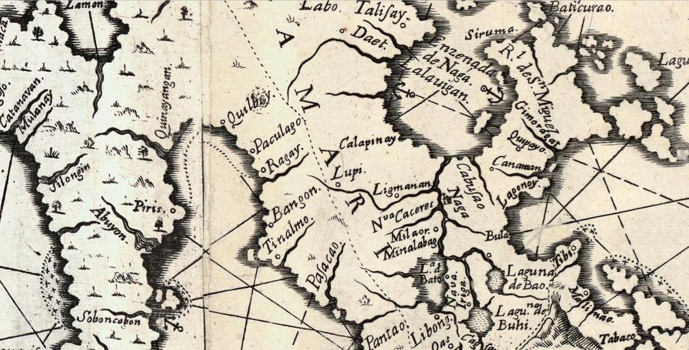
| Keywords: VelardeMurilloMap CSNorth 1734.JPG en Portion of the Murillo-Velarde 1734 Map showing areas and towns north of Camarines 2015-06-09 A Hydrographical and Chorographical Chart of the Philippine Islands Pedro Murillo Velarde 1734; Bagay Nicolas dela Cruz other versions PD-Art Uploaded with UploadWizard Maps History Uncategorized 2015 June 9 | ||||