MAKE A MEME
View Large Image
| View Original: | United States National Geodetic Survey marker QO1858.jpg (3648x2736) | |||
| Download: | Original | Medium | Small | Thumb |
| Courtesy of: | commons.wikimedia.org | More Like This | ||
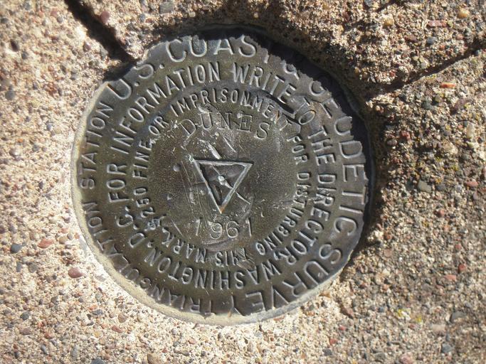
| Keywords: United States National Geodetic Survey marker QO1858.jpg en United States National Geodetic Survey marker http //www ngs noaa gov/cgi-bin/ds_quads prl QO1858 NAD 83 1996 - 45˚25'45 41880 N 093˚41'41 45192 W Located in Sand Dunes State Forest Sherburne County Minnesota NAVD 88 - 312 meters 1024 feet - Elevation own Minnecologies 2010-09-21 45 25 45 41880 N 93 41 41 45192 W region MN_type landmark cc-zero United States National Geodetic Survey markers Sherburne County Minnesota | ||||