MAKE A MEME
View Large Image
| View Original: | United_States_Congressional_Districts_in_New_Mexico,_1973_–_1982(2).tif (1031x802) | |||
| Download: | Original | Medium | Small | Thumb |
| Courtesy of: | commons.wikimedia.org | More Like This | ||
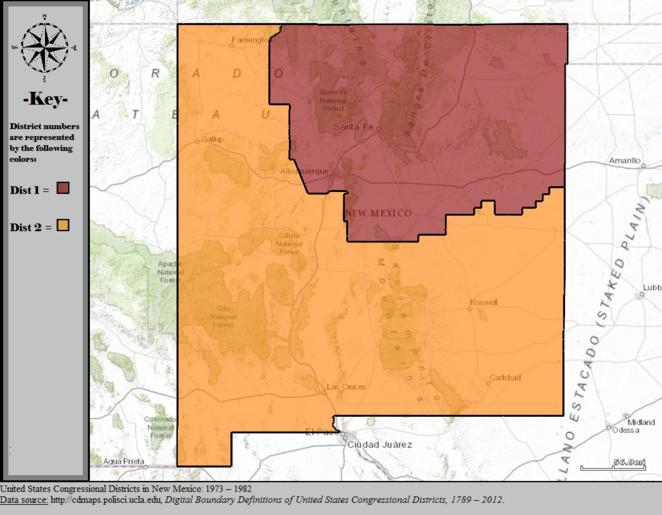
| Keywords: United States Congressional Districts in New Mexico, 1973 – 1982(2).tif en Statewide boundaries for United States congressional districts in New Mexico 1973 “ 1982 Map color key is provided inside the image 2014-12-07 US Department of the Interior public data retrieved from http //cdmaps polisci ucla edu Authors 1 All GIS data presented in this project was originally collected and published by the United States Department of the Interior 2 US district GIS shapefile data created in association with the UCLA by Jeffrey B Lewis Brandon DeVine Lincoln Pitcher and Kenneth C Martis 2013 Digital Boundary Definitions of United States Congressional Districts 1789-2012 3 Data was rendered using ArcGIS® software by Esri 4 File developed for use on Wikipedia and elsewhere by 7partparadigm other versions PD-USGov Uploaded with UploadWizard Congressional district maps of the United States | ||||