MAKE A MEME
View Large Image
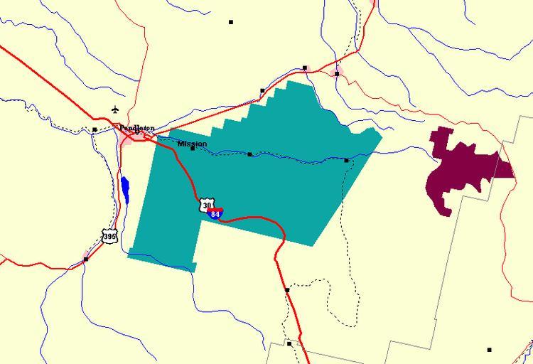
| View Original: | Umatilla Indian Reservation map.png (794x542) | |||
| Download: | Original | Medium | Small | Thumb |
| Courtesy of: | commons.wikimedia.org | More Like This | ||
| Keywords: Umatilla Indian Reservation map.png en Map of Umatilla Indian Reservation and vicinity http //nationalatlas gov/natlas/Natlasstart asp AppCmd CUSTOM mLeft -1463542 35271811 mBottom 207028 2604466 mRight -1383241 65436944 mTop 264467 958836208 mWidth 721 mHeight 522 LonLat null bgoff T tabs T LayerList CitiesTowns Counties Roads sf us States LakesRivers indlan wa USUrban Airports FederalTr Rail Pete Forsyth using U S Federal Government tool 2009-09-19 cc-zero Maps of Oregon | ||||