MAKE A MEME
View Large Image
| View Original: | UBBasel_Map_Deutschland_1640-1670_Kartenslg_Mappe_242-66.tif (10981x8274) | |||
| Download: | Original | Medium | Small | Thumb |
| Courtesy of: | commons.wikimedia.org | More Like This | ||
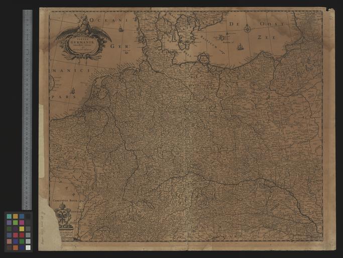
| Keywords: UBBasel Map Deutschland 1640-1670 Kartenslg Mappe 242-66.tif accession number Basel UB http //aleph unibas ch/F/ local_base DSV01 con_lng GER func find-b find_code SYS request 005832145 Kartenslg Mappe 242 66 Claes Jansz Visscher Abraham van den Broeck Tabula Germaniae cum privelegio / emendata recens per Nicolaum Iohannem Piscatorem ; A vanden Broeck sculp Size cm 47 56 help warp Institution Basel University Library lat 56 15/45 65 Deutschland 1 5833/22 5 map date Kupferdruck Titelkartusche oben links Massstabs- und Wappenkartusche unten links other fields other versions Basel University Library UB_Basel_Maps PD-old-100 User Basel University Library/Attribution-Recommendation Kartenslg Mappe 242 66 print date Ca 1 2 800 000 http //dx doi org/10 3931/e-rara-13275 10 3931/e-rara-13275 Info http //suche kartenportal ch/ id 118889982 Kartenportal CH Tabula Germaniae wikidata location wikidata title Uploaded with GWToolset UBBasel_Map_Deutschland_1640-1670_Kartenslg_Mappe_242-66 http //www ub unibas ch/digi/wikicommons/out/005832145/image/4026817 tif Old maps of Germany | ||||