MAKE A MEME
View Large Image
| View Original: | UBBasel_Map_1690-1710_VB_A2-2-39.tif (3792x3286) | |||
| Download: | Original | Medium | Small | Thumb |
| Courtesy of: | commons.wikimedia.org | More Like This | ||
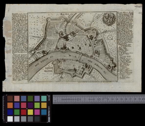
| Keywords: UBBasel Map 1690-1710 VB A2-2-39.tif accession number Basel UB http //aleph unibas ch/F/ local_base DSV01 con_lng GER func find-b find_code SYS request 006023203 VB A2 2 39 Johann Stridbeck Stadtplan von Basel / Johann Stridbeck fecit et excudit Size cm 15 20 help warp Institution Basel University Library ger 47 6/47 5167 7 5/7 65 map date Kupferstich Südwestorientiert / Erläuterungen links und rechts des Kartenbilds other fields other versions Basel University Library UB_Basel_Maps PD-old-100 User Basel University Library/Attribution-Recommendation VB A2 2 39 print date Augspurg s l Ca 1 10 000 http //dx doi org/10 3931/e-rara-24114 10 3931/e-rara-24114 Info http //suche kartenportal ch/ id 117586013 Kartenportal CH Stadtplan von Basel wikidata location wikidata title Uploaded with GWToolset UBBasel_Map_1690-1710_VB_A2-2-39 http //www ub unibas ch/digi/wikicommons/out/006023203/image/7437743 tif Old maps of Basel | ||||