MAKE A MEME
View Large Image
| View Original: | UBBasel_Map_1680-1700_Kartenslg_Mappe_237-29_Britannia_Hibernia.tiff (5406x3039) | |||
| Download: | Original | Medium | Small | Thumb |
| Courtesy of: | commons.wikimedia.org | More Like This | ||
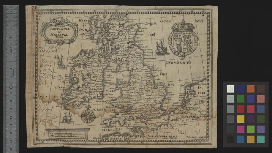
| Keywords: UBBasel Map 1680-1700 Kartenslg Mappe 237-29 Britannia Hibernia.tiff accession number Basel UB http //aleph unibas ch/F/ local_base DSV01 con_lng GER func find-b find_code SYS request 005757475 Kartenslg Mappe 237 29 Peter Aubry Magnae Britanniae et Hiberniae tabula / Peter Aubrÿ sculpsit Size cm 16 22 help warp Institution Basel University Library lat 60 9167/48 3667 11/5 95 map date Kupferdruck Titelkartusche oben links Massstabsleisten unten links Wappen oben rechts other fields other versions Basel University Library UB_Basel_Maps PD-old-100 User Basel University Library/Attribution-Recommendation Kartenslg Mappe 237 29 print date Ca 1 7 000 000 http //dx doi org/10 3931/e-rara-12809 10 3931/e-rara-12809 Info http //suche kartenportal ch/ id 118889893 Kartenportal CH Magnae Britanniae et Hiberniae tabula wikidata location wikidata title Uploaded with GWToolset UBBasel_Map_1680-1700_Kartenslg_Mappe_237-29 http //www ub unibas ch/digi/wikicommons/out/005757475/image/3934658 tif UB Basel Maps Uncategorized | ||||