MAKE A MEME
View Large Image
| View Original: | UBBasel_Map_1620-1740_Kartenslg_Mappe_235-65_Rhenolandia_Amstelandia.tiff (11970x9439) | |||
| Download: | Original | Medium | Small | Thumb |
| Courtesy of: | commons.wikimedia.org | More Like This | ||
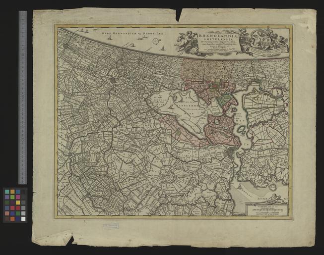
| Keywords: UBBasel Map 1620-1740 Kartenslg Mappe 235-65 Rhenolandia Amstelandia.tiff accession number Basel UB http //aleph unibas ch/F/ local_base DSV01 con_lng GER func find-b find_code SYS request 005750505 Kartenslg Mappe 235 65 Nicolaes Visscher Pieter Schenk Map of Holland made between 1620 -1740 spanning from the Hague/'s Gravenhage till north of Amsterdam by Nicolaum Visscher Size cm 44 64 help warp Institution Basel University Library lat 52 5167/51 9833 4 2833/5 1333 map date Kupferdruck Ostorientiert / Titelkartusche und Widmung oben rechts Massstabsleisten unten rechts / Gewidmet Johannes Hudde other fields other versions Basel University Library UB_Basel_Maps PD-old-100 User Basel University Library/Attribution-Recommendation Kartenslg Mappe 235 65 print date Amsterdam nunc apud Petrum Schenk Junior Ca 1 100 000 http //dx doi org/10 3931/e-rara-12804 10 3931/e-rara-12804 Info http //suche kartenportal ch/ id 119664763 Kartenportal CH Map of Holland made between 1620 -1740 spanning from the Hague/'s Gravenhage till north of Amsterdam by Nicolaum Visscher wikidata location wikidata title Uploaded with GWToolset UBBasel_Map_1620-1740_Kartenslg_Mappe_235-65 http //www ub unibas ch/digi/wikicommons/out/005750505/image/3934630 tif UB Basel Maps Uncategorized | ||||