MAKE A MEME
View Large Image
| View Original: | Tyne and Wear outline map with UK.png (600x500) | |||
| Download: | Original | Medium | Small | Thumb |
| Courtesy of: | commons.wikimedia.org | More Like This | ||
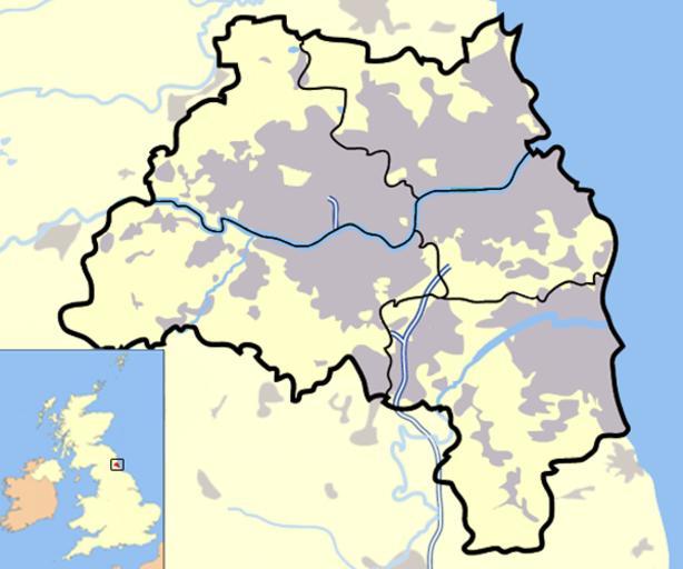
| Keywords: Tyne and Wear outline map with UK.png Map of Tyne and Wear for use in infoboxes Urban areas are shown in Grey bodies of water in light blue motorways in deep blue with white stripe county and borough boundaries are in black en wikipedia 2007-03-20 Jhamez84 wikipedia en Jhamez84 original upload log page en wikipedia Tyne_and_Wear_outline_map_with_UK png 2007-03-27 21 54 Jhamez84 600×500×16 531102 bytes <nowiki>Changing composition slightly wasn't central before Lightened surrounding areas so the map is inline with other metropolitan maps of England </nowiki> 2007-03-20 14 05 Jhamez84 600×500×16 297417 bytes <nowiki>Map of Tyne and Wear for use in infoboxes Urban areas are shown in Grey bodies of water in light blue motorways in deep blue with white stripe county and borough boundaries are in black </nowiki> Maps of Tyne and Wear Locator maps of counties of England | ||||