MAKE A MEME
View Large Image
| View Original: | TЕҷebГӯДҚ_Borovina_2_map_from_year_1782.jpg (663x443) | |||
| Download: | Original | Medium | Small | Thumb |
| Courtesy of: | commons.wikimedia.org | More Like This | ||
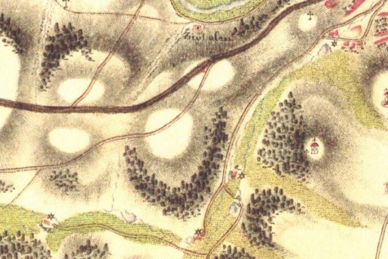
| Keywords: TЕҷebГӯДҚ Borovina 2 map from year 1782.jpg en The map of the second part of TЕҷebГӯДҚ Borovina from year 1782 cs Mapa starЕЎГӯ ДҚГЎsti Boroviny z roku 1782 Original source http //oldmaps geolab cz/ В© 2nd Military Survey Section No W_10_IV Austrian State Archive/Military Archive Vienna В© LaboratoЕҷ geoinformatiky Univerzita J E PurkynДӣ “ http //www geolab cz В© Ministerstvo ЕҫivotnГӯho prostЕҷedГӯ ДҢR “ http //www env cz 2009-03-01 PD-old Maps of Borovina First Military Mapping Survey of Austrian Empire Czech Republic Location not applicable | ||||