MAKE A MEME
View Large Image
| View Original: | TransCanadaHWY.png (860x691) | |||
| Download: | Original | Medium | Small | Thumb |
| Courtesy of: | commons.wikimedia.org | More Like This | ||
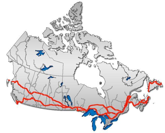
| Keywords: TransCanadaHWY.png Trans Canada Highway on Canada map Route transcanadienne sur la carte du Canada Trans-Kanada Ň oseo sur mapo de Kanado „Éą„É©„É≥„āĻ„āę„Éä„É „ÉŹ„ā§„ā¶„āß„ā§Ś įŚõ≥„ ā Routemap van de Trans-Canada Highway GIS data 2006-11 Qyd All <gallery> Image Roads-Canada-frame png all major highways Image Yellowhead route png Yellowhead highway </gallery> Highway maps of Canada road map Trans-Canada Highway ImageNote 1 671 500 9 9 860 691 2 The depicted route through Tadoussac Qu√©bec on the north shore then across a ferry to Rimouski then doubling back to Rivi√®re du Loup to rejoin the mainline Transcanadienne is spurious There is only one TCH routing from Montr√©al to Edmunston which runs south shore Montr√©al-L√©vis-Rivi√®re du Loup on A-20 then 185/A-85 from Rivi√®re du Loup through St Louis du Ha Ha to Edmunston NB Tadoussac and Rimouski are not on the route or any of its alternates ImageNoteEnd 1 | ||||