MAKE A MEME
View Large Image
| View Original: | Topographischer_Atlas_Bayern_-_Karte_Neumarkt_Parsberg.jpg (1722x1110) | |||
| Download: | Original | Medium | Small | Thumb |
| Courtesy of: | commons.wikimedia.org | More Like This | ||
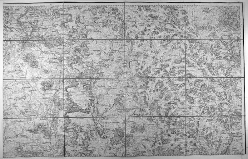
| Keywords: Topographischer Atlas Bayern - Karte Neumarkt Parsberg.jpg de Karte des Gebietes um Neumarkt von Kemnath bis Hohenfels und von Elsbach bis Grubach Kupferstich aus Topographischer Atlas von Bayern 1812-1867 52 x 80 cm 16 Segmente je 12 5 x 19 cm en Map of the region of Neumarkt in bavaria 19 century http //bierl-antiquariat de author Maps of Landkreis Neumarkt Oberpfalz PD-old | ||||