MAKE A MEME
View Large Image
| View Original: | Topographische_Carte_Hundert_Quadrat-Meilen_um_Berlin_(5384787851).jpg (8691x7358) | |||
| Download: | Original | Medium | Small | Thumb |
| Courtesy of: | commons.wikimedia.org | More Like This | ||
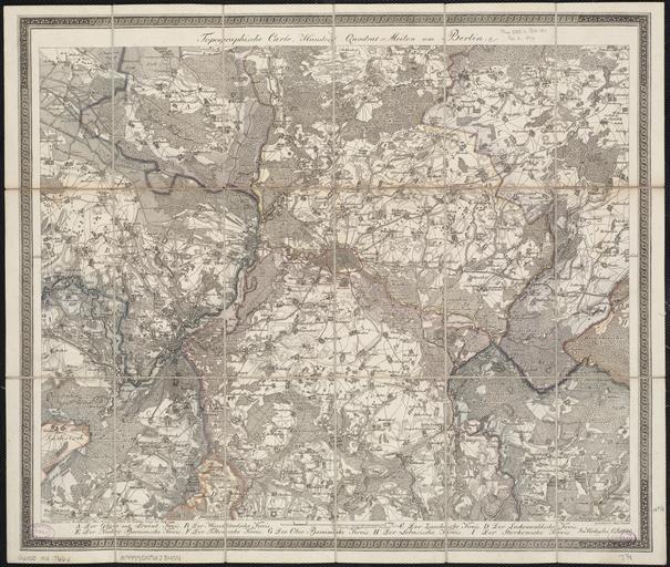
| Keywords: Topographische Carte Hundert Quadrat-Meilen um Berlin (5384787851).jpg F Schneider 1811 Norman B Leventhal Map Center at the Boston Public Library http //maps bpl org/id/14530 online map date Berlin wikidata location Q64 185000 N 52 1181244/52 8703022 12 6993561/14 145117 yes de C Salfeld Lud Schmidt print date Institution Boston Public Library accession number G6150 1811 T66x Size cm 49 0 42 0 Size cm 45 5 37 0 map size copper engraving colored Literatur G Schulz Die Stadtpläne von Berlin 1652-1920 Nr 225 other versions PD-old-70-1923 1811 in Berlin 1811 maps Old maps of Berlin 1811 Photos from Norman B Leventhal Map Center at the BPL's photostream Old maps of Brandenburg 1811 | ||||
.jpg)