MAKE A MEME
View Large Image
| View Original: | Tomotley-debrahm-map.jpg (599x452) | |||
| Download: | Original | Medium | Small | Thumb |
| Courtesy of: | commons.wikimedia.org | More Like This | ||
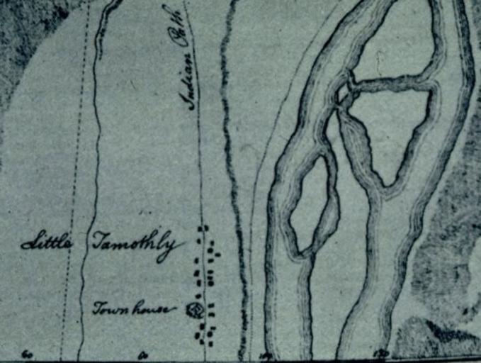
| Keywords: Tomotley-debrahm-map.jpg Tomotley which was once located along the Little Tennessee River in what is now Monroe County Tennessee United States The village's townhouse and a road Indian Path are labeled http //diglib lib utk edu/cgi/i/image/image-idx c vvz;view entry;subview detail;cc vvz;entryid x-0117_000050_000212_0000; q1 D 15 op2 q2 op3 q3 rgn All+Categories Volunteer Voices University of Tennessee digital collections William G De Brahm d 1799 1756 Cherokee Monroe County Tennessee Old maps of Tennessee 1756 in the United States PD-old-100 | ||||