MAKE A MEME
View Large Image
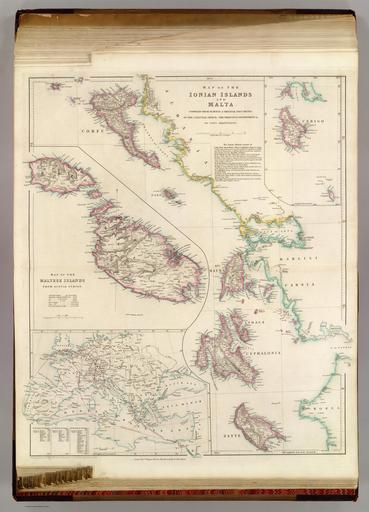
| View Original: | The Ionian Islands and Malta, Arrowsmith John, 1844.jpg (8528x11847) | |||
| Download: | Original | Medium | Small | Thumb |
| Courtesy of: | commons.wikimedia.org | More Like This | ||
| Keywords: The Ionian Islands and Malta, Arrowsmith John, 1844.jpg en Map of the Ionian Islands and Malta compiled from surveys original documents in the colonial office the ordnance department c by John Arrowsmith with Map of the Maltese Islands from actual survey with inset map of Cerigo with inset map of sea and land routes from England to Alexandria London Pubd 8th August 1842 by John Arrowsmith 10 Soho Square 1844-01-02 http //www davidrumsey com/luna/servlet/workspace/handleMediaPlayer lunaMediaId RUMSEY~8~1~2767~270040 www davidrumsey com John Arrowsmith other versions Custom license marker 2016 11 24 PD-old-100 David Rumsey Historical Map Collection Old maps of Greece John Arrowsmith Old maps of Malta | ||||