MAKE A MEME
View Large Image
| View Original: | Tasman's_track.jpg (800x535) | |||
| Download: | Original | Medium | Small | Thumb |
| Courtesy of: | commons.wikimedia.org | More Like This | ||
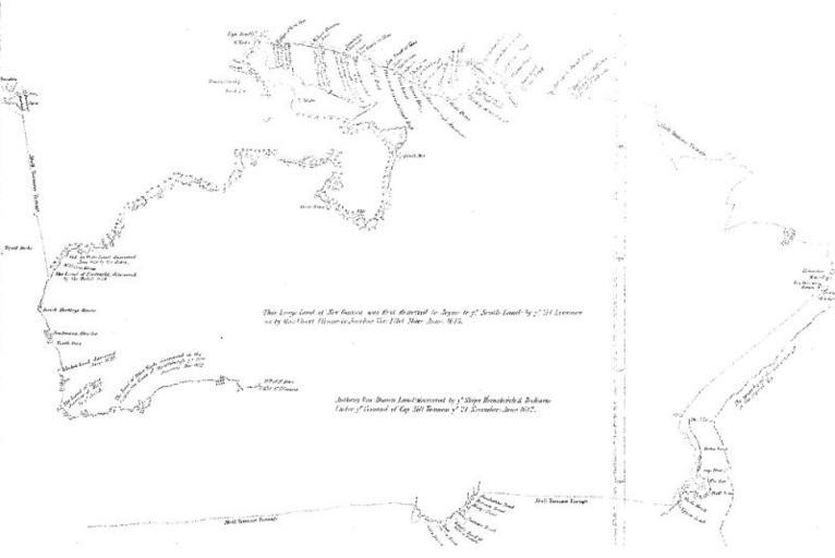
| Keywords: Tasman's track.jpg This is a map showing the track taken by Abel Tasman in 1642 Project Gutenberg of Australia edition of Early Voyages in Terra Australis The image is located at http //www gutenberg net au/ebooks06/0600361h-03 jpg Original map dates to the 17th century; Early Voyages in Terra Australis was published in 1859 Primarily Abel Tasman; presumably some professional cartographers were involved in production of the final product PD-Art Abel Tasman Maps of Australia | ||||