MAKE A MEME
View Large Image
| View Original: | Swine Flu map NZ.PNG (405x590) | |||
| Download: | Original | Medium | Small | Thumb |
| Courtesy of: | commons.wikimedia.org | More Like This | ||
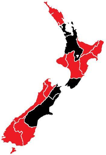
| Keywords: Swine Flu map NZ.PNG H1N1 New Zealand Map svg A map of confirmed or suspected cases of Swine Influenze in New Zealand provinces pandemia de gripe de 2009 na Nova Zelândia legend 000000 Mortes red Casos confirmados Transferred from http //en wikipedia org en wikipedia; transfer was stated to be made by User Sniff <br/> Original text A map from the wikipedia commons was used 01/04/09<br/> 2009 05 01 original upload date Position_of_Auckland_Region png from Wikipedia Commons used Original uploader was Jma0211 at http //en wikipedia org en wikipedia Released into the public domain by the author en wikipedia Jma0211 original upload log page en wikipedia Swine_Flu_map_NZ PNG 2009-05-01 01 08 Jma0211 405×590× 12081 bytes <nowiki> A map of confirmed or suspected cases of Swine Influenze in New Zealand provinces </nowiki> checked 2009 swine flu outbreak maps Maps of New Zealand | ||||