MAKE A MEME
View Large Image
| View Original: | Squatting_districts,_New_South_Wales,_Australia,_1844.jpg (1106x1177) | |||
| Download: | Original | Medium | Small | Thumb |
| Courtesy of: | commons.wikimedia.org | More Like This | ||
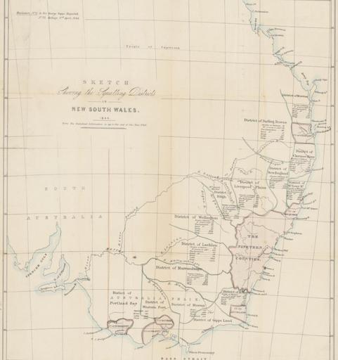
| Keywords: Squatting districts, New South Wales, Australia, 1844.jpg en Map of New South Wales and Victoria showing squatting districts with number of stations acres in cultivation free and bond populations horses cattle and sheep uk ą ą░ą┐ą░ čéąĄč ąĖč鹊č č¢čŚ čłčéą░čéč¢ą▓ ą ąŠą▓ąĖą╣ ą¤č¢ą▓ą┤ąĄąĮąĮąĖą╣ ąŻąĄą╗čīčü č¢ ąÆč¢ą║č鹊č č¢čÅ ą¤ąŠą║ą░ąĘą░ąĮč¢ čüą░ą╝ąŠčćąĖąĮąĮąŠ ąĘą░čüąĄą╗ąĄąĮč¢ č ą░ą╣ąŠąĮąĖ ą┤ąĖčüčéč ąĖą║čéąĖ ąĘ čćąĖčüą╗ąŠą╝ čüčéą░ąĮčåč¢ą╣ ą║čāą╗čīčéąĖą▓ąŠą▓ą░ąĮąĖčģ ą░ą║č č¢ą▓ ąĘąĄą╝ą╗č¢ čćąĖčüą╗ąŠą╝ ą▓č¢ą╗čīąĮąŠą│ąŠ čéą░ ąĮąĄą▓č¢ą╗čīąĮąŠą│ąŠ ąĮą░čüąĄą╗ąĄąĮąĮčÅ ą║ąŠąĮąĄą╣ ą▓ąĄą╗ąĖą║ąŠčŚ č ąŠą│ą░čéąŠčŚ čģčāą┤ąŠą▒ąĖ čéą░ ąŠą▓ąĄčåčī 1846 http //nla gov au/nla map-rm1669 John Arrowsmith Custom license marker 2013 04 01 PD-old Uploaded with UploadWizard Historical maps of Victoria Australia Historical maps of New South Wales | ||||