MAKE A MEME
View Large Image

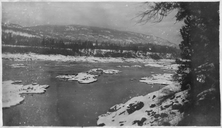
| View Original: | Showing_natural_low_water_channel_to_ledge_beyond_station_5_-_NARA_-_298824.jpg (3000x1740) | |||
| Download: | Original | Medium | Small | Thumb |
| Courtesy of: | commons.wikimedia.org | More Like This | ||
| Keywords: Showing natural low water channel to ledge beyond station 5 - NARA - 298824.jpg Scope and content Between 1907 and 1913 the US Army Corps of Engineers undertook to survey and photograph the Columbia River In this pre-dam era the Corps was particularly interested in documenting hazards to navigations and parts of the river that were unnavigable The images from this collection show the river as is was before a series of dams built in the 1930-50's tamed the river General notes 298824 Local identifier Department of Defense Department of the Army Office of the Chief of Engineers North Pacific Division 09/18/1947 - 06/14/1979 NARA's Pacific Alaska Region Seattle NRIAS 6125 Sand Point Way NE Seattle WA 98115-7999 1908 Record group Record Group 77 Records of the Office of the Chief of Engineers 1789 - 1999 Record group ARC 406 Correspondence Relating to Specific River and Harbor Improvements compiled ca 1907 - ca 1940 Series ARC 298811 File unit Columbia River Survey ca 1907 - ca 1913 File unit ARC 298812 Variant control numbers NAIL Control Number NRIS-77-SEADECIMAL-13-5A Other versions <gallery> File Showing_natural_low_water_channel_to_ledge_beyond_station_5_-_NARA_-_298824 tif tif File Showing_natural_low_water_channel_to_ledge_beyond_station_5_-_NARA_-_298824 jpg jpg </gallery> NARA-cooperation PD-USGov Columbia River 1908 photographs | ||||