MAKE A MEME
View Large Image
| View Original: | San_Fernando_Valley_all_Hall_Map_1880.png (1055x661) | |||
| Download: | Original | Medium | Small | Thumb |
| Courtesy of: | commons.wikimedia.org | More Like This | ||
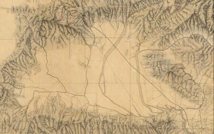
| Keywords: San Fernando Valley all Hall Map 1880.png Detail of the San Fernando Valley from a manuscript map of Los Angeles and San Bernardino topography 1880 by William Hammond Hall Office of the State Engineer California The map shows Rancho El Escorpión center left in the foothills Rancho El Encino or Rancho Los Encinos lower center Mission San Fernando Rey de España center top and the Rancho Cahuenga inholding within Rancho Providencia lower right The upper Los Angeles River and its tributaries are also shown http //www davidrumsey com/detail id 1-1-3468-350005 name Los+Angeles+ +San+Bernardino+topography David Rumsey Map Collection 1880 William Hammond Hall PD-old Maps of the San Fernando Valley 01 Old maps of California Maps of Los Angeles County California California in the 1880s Los Angeles in the 1880s Los Angeles River A Mission San Fernando Rey de España San Fernando Valley 01 | ||||