MAKE A MEME
View Large Image
| View Original: | Ropsten_1784.png (1323x1252) | |||
| Download: | Original | Medium | Small | Thumb |
| Courtesy of: | commons.wikimedia.org | More Like This | ||
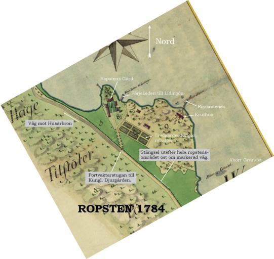
| Keywords: Ropsten 1784.png Historical map showing part of Hjorthagen Stockholm around Ropsten in the 17th century Map created 1784 http //www djurgardskartor lantmateriet se/ Historical maps; area Djurgården Stockholm; Id No 1702 2008-02 Lidingo PD-old PD-old 18th-century maps of Stockholm Maps of Hjorthagen | ||||