MAKE A MEME
View Large Image
| View Original: | Roman_provinces_in_a_1867_school_atlas.jpg (3717x2866) | |||
| Download: | Original | Medium | Small | Thumb |
| Courtesy of: | commons.wikimedia.org | More Like This | ||
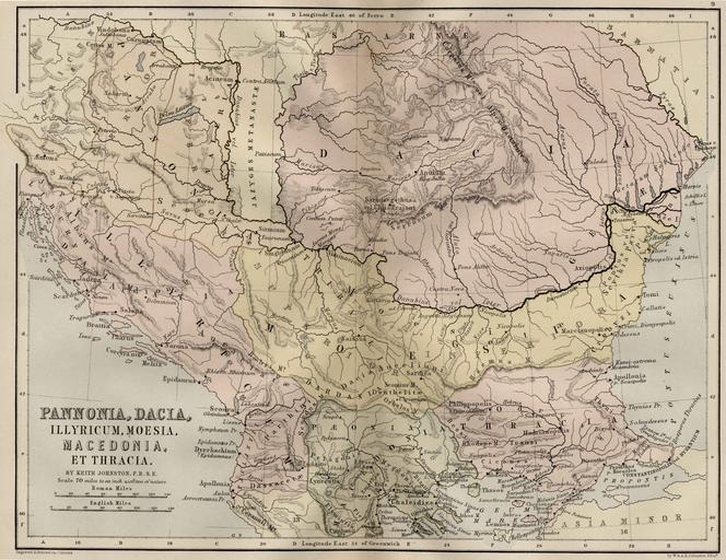
| Keywords: Roman provinces in a 1867 school atlas.jpg Pannonia Illyricum Moesia Macedonia Et Thracia Map 9 This map includes even 2nd century AD i e Adrianopolis cities and perhaps even later ones School Atlas of classical geography comprising in twenty-three plates by Alexander Keith Johnston Publisher;William Blackwood and Sons 1867 uploaded 20 August 2005 made 1867 Alexander Keith Johnston PD-old Maps of the history of the ancient Balkans 19th-century maps of the Balkans Maps of the history of Kosovo in ancient times Historical maps of the Danube watercourse system Lower Maps of the lower Danube Maps of the middle Danube Maps of Roman Dacia Maps of Roman Pannonia Maps of Illyricum Maps of the history of Romania in ancient times Maps of the history of Transylvania Roman Macedonia Roman Thrace Moesia Superior Inferior Maps of Roman Dalmatia Iazyges 1867 maps Alexander Keith Johnston 1804 “1871 | ||||