MAKE A MEME
View Large Image
| View Original: | Roma_Plan.jpg (1840x1463) | |||
| Download: | Original | Medium | Small | Thumb |
| Courtesy of: | commons.wikimedia.org | More Like This | ||
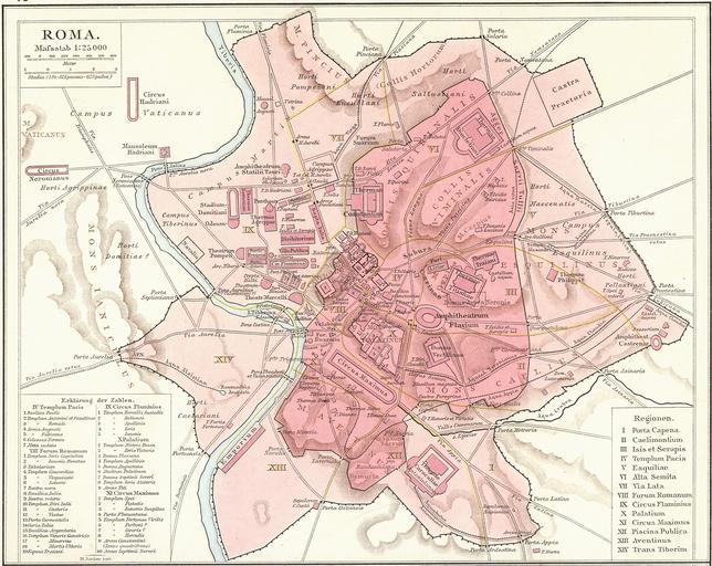
| Keywords: drawing map sketch tangle cartoon illustration G. Droysens Allgemeiner Historischer Handatlas G. Droysens Allgemeiner Historischer Handatlas Roma Plan.jpg Plan Roms im Altertum / Map of Rome during Antiquity G Droysens Allgemeiner Historischer Handatlas 1886 Author H Jordan PD-old <gallery> file Roma Plan bw jpg file Map of ancient Rome svg </gallery> On July 26th pacific time 2008 I Amadscientist altered the existing image as part of Project Illustration to improve the current images on Wiki This is part of improvements to articles on Ancient Rome The same member then uploaded the same file but at the original size for faster loading --Amadscientist talk 06 44 27 July 2008 UTC Old maps of ancient Rome city Maps of Aurelian Walls Rome 4 Maps of Servian Walls Rome 4 1886 maps Maps from Allgemeiner Historischer Handatlas ImageNote 1 720 427 34 24 1840 1463 2 הפנתאון ברומא ImageNoteEnd 1 G. Droysens Allgemeiner Historischer Handatlas | ||||