MAKE A MEME
View Large Image
| View Original: | Robeso2.jpg (1263x686) | |||
| Download: | Original | Medium | Small | Thumb |
| Courtesy of: | commons.wikimedia.org | More Like This | ||
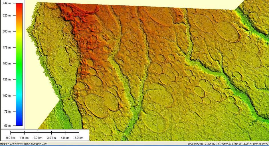
| Keywords: Robeso2.jpg North Carolina Department of Transportation un-copyrighted LIDAR elevation data projected through purchased software en wikipedia 4ing 2007-10-10 Swampmerchant wikipedia en Swampmerchant Original upload log page en wikipedia Robeso2 jpg 2007-10-10 21 45 Swampmerchant 1263×686× 299786 bytes <nowiki>North Carolina Department of Transportation un-copyrighted LIDAR elevation data projected through purchased software</nowiki> Ecology Geology of the United States LIDAR images Geomorphology of South Carolina | ||||