MAKE A MEME
View Large Image
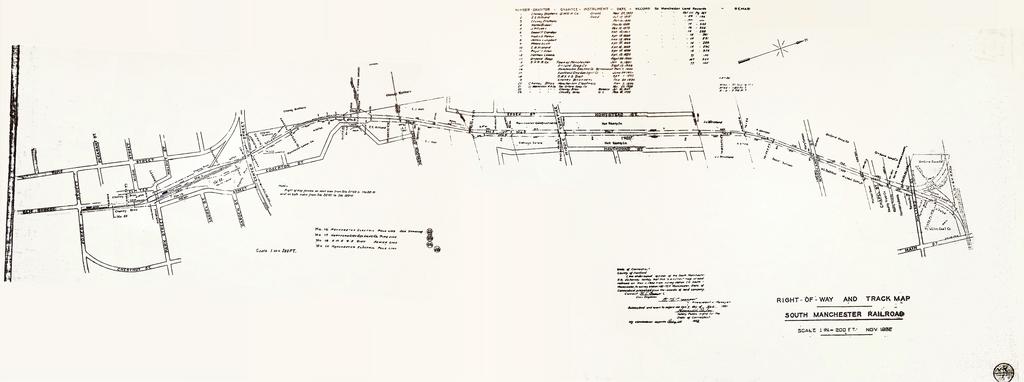
| View Original: | Right-of-Way and Track Map, South Manchester Railroad, November, 1932 stitched.jpg (3510x1311) | |||
| Download: | Original | Medium | Small | Thumb |
| Courtesy of: | commons.wikimedia.org | More Like This | ||
| Keywords: Right-of-Way and Track Map, South Manchester Railroad, November, 1932 stitched.jpg en Right-of-Way and Track Map South Manchester Railroad November 1932 2013-11-05 10 44 10 http //www manchesterhistory org/reprints/MHS3_SMRRmap html Right-of-Way and Track Map South Manchester Railroad November 1932 State of Connecticut County of Hartford derivative work Lämpel other versions <gallery> Right-of-Way and Track Map South Manchester Railroad November 1932 left jpg Original links Right-of-Way and Track Map South Manchester Railroad November 1932 centre jpg Original mitte Right-of-Way and Track Map South Manchester Railroad November 1932 right jpg Original rechts Right-of-Way and Track Map South Manchester Railroad November 1932 reconstructed jpg </gallery> Stitched Crop Farbe und Kontrast optimiert Lämpel Right-of-Way and Track Map South Manchester Railroad November 1932 centre jpg 41 809355555556 -72 478425 heading 56 70135746606335 PD-USGov South Manchester Railroad Maps of Connecticut | ||||