MAKE A MEME
View Large Image

| View Original: | RheinaWolbeck.jpg (284x320) | |||
| Download: | Original | Medium | Small | Thumb |
| Courtesy of: | commons.wikimedia.org | More Like This | ||
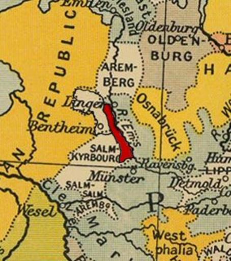
| Keywords: RheinaWolbeck.jpg Rheina-Wolbeck zelf ingetekend vrij te gebruiken; http //www lib utexas edu/maps/faq html 3 html Base map is Cambridge Modern History Atlas showing year 1803; Rheina-Wolbeck added by Känsterle europe_central_1803 jpg historical/ward_1912/ The Cambridge Modern History Atlas edited by Sir Adolphus William Ward G W Prothero Sir Stanley Mordaunt Leathes and E A Benians Cambridge University Press; London 1912 1912 base map Ward et al Rheina-Wolbeck addition Känsterle PD-1923 Original upload log page nl wikipedia RheinaWolbeck jpg 2005-02-01 14 58 Känsterle 284×320× 37797 bytes <nowiki>Rheina-Wolbeck zelf ingetekend vrij te gebruiken; http //www lib utexas edu/maps/faq html 3 html </nowiki> Maps of the First French Empire Old maps of the Holy Roman Empire Maps of the history of North Rhine-Westphalia Files by User Känsterle from nl wikipedia Cambridge Modern History Atlas | ||||