MAKE A MEME
View Large Image
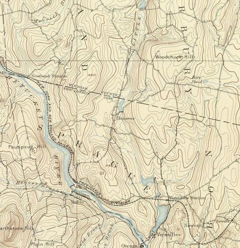
| View Original: | Quinebaug River (Massachusetts + Connecticut) map cropped to Hanover.jpg (970x1001) | |||
| Download: | Original | Medium | Small | Thumb |
| Courtesy of: | commons.wikimedia.org | More Like This | ||
| Keywords: Quinebaug River (Massachusetts + Connecticut) map cropped to Hanover.jpg en Map of Hanover CT and surrounding areas 1893 File Quinebaug River Massachusetts + Connecticut map jpg United States Geological Survey US Department of the Interior other versions PD-USGov Topographic maps of Connecticut | ||||
-map-cropped-to-Hanover.jpg)