MAKE A MEME
View Large Image
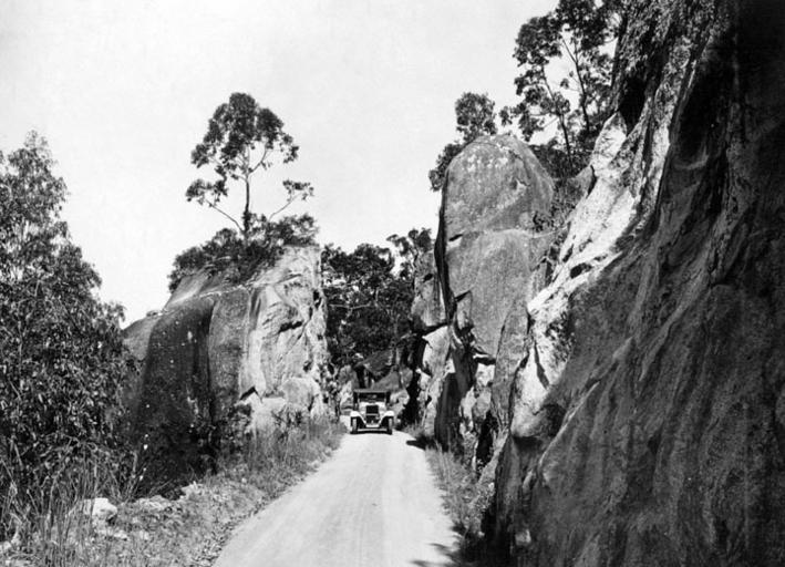
| View Original: | Queensland State Archives 1260 Rock formation on the Gillies Highway Cairns to Atherton Tableland c 1935.png (720x520) | |||
| Download: | Original | Medium | Small | Thumb |
| Courtesy of: | commons.wikimedia.org | More Like This | ||
| Keywords: Queensland State Archives 1260 Rock formation on the Gillies Highway Cairns to Atherton Tableland c 1935.png en Rock formation on the Gillies Highway - Cairns to Atherton Tableland 1935 http //www archivessearch qld gov au/Image/DigitalImageDetails aspx ImageId 1260 Preferred citation Queensland State Archives Digital Image ID 1260 ID label 1083554 http //www archivessearch qld gov au/Search/AgencyDetails aspx AgencyID 1976 Agriculture And Stock Department Publicity Branch en Copyright expired Information field Decade 1930-1939 Information field Place en Tablelands Region Information field Material Type en Photographic material Information field Type en Image PD-Australia QSA media uploaded by User 99of9 Photographic material from the Queensland State Archives Queensland in the 1930s Gillies Highway Queensland Rock formations in Australia Roads in Far North Queensland | ||||