MAKE A MEME
View Large Image
| View Original: | Prestbury_in_Cheshire_(Bryant_map,_1831).jpg (287x172) | |||
| Download: | Original | Medium | Small | Thumb |
| Courtesy of: | commons.wikimedia.org | More Like This | ||
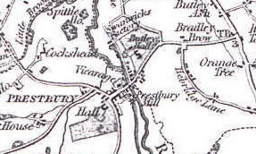
| Keywords: Prestbury in Cheshire (Bryant map, 1831).jpg Prestbury village as shown on Bryant's map of the County Palatinate of Cheshire 3 May 1831 Part of a photocopy of a copy of a map held at Cheshire and Chester Archives and Local Studies Bryant 1831 gif 2015-02-04 AlbertJohnSwallow PD-100 Prestbury Cheshire | ||||
.jpg)