MAKE A MEME
View Large Image
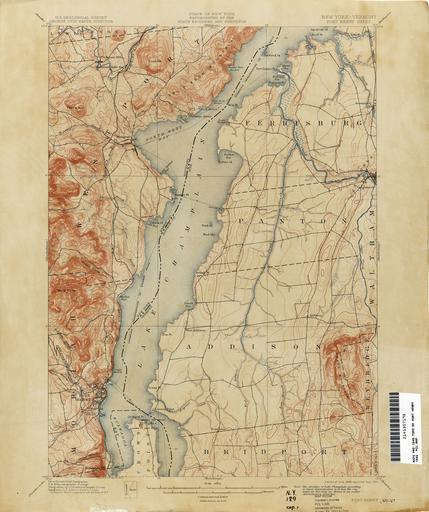
| View Original: | Port_Henry_New_York_USGS_topo_map_1892.jpg (3001x3585) | |||
| Download: | Original | Medium | Small | Thumb |
| Courtesy of: | commons.wikimedia.org | More Like This | ||
| Keywords: Port Henry New York USGS topo map 1892.jpg en Old United States Geological Survey quad map of the Adirondacks in NY State; image of this topographical quadrangle map retrieved from archive at Old Book Art website 1919 http //www gallery oldbookart com/main php g2_itemId 30598 USGS Public domain rights and usage information confirmed at http //www oldbookart com/about/ http //www oldbookart com/about/ PD-USGov-USGS PD-USGov Uploaded with UploadWizard Adirondack maps Topographic maps of New York United States Geological Survey maps Old maps of New York Port Henry New York | ||||