MAKE A MEME
View Large Image
| View Original: | Plan_du_quartier_de_Notre-Dame_1150,_1550,_1750.jpg (4163x2789) | |||
| Download: | Original | Medium | Small | Thumb |
| Courtesy of: | commons.wikimedia.org | More Like This | ||
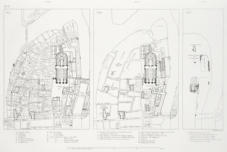
| Keywords: Plan du quartier de Notre-Dame 1150, 1550, 1750.jpg Artwork Aerial plans of the area around Notre-Dame Cathedral Three maps in order from left to right show the area in 1750 1550 and 1150 On the overlay the same area is shown in 1881 1875-1882 lithograph 24 x 30 cm Institution Brown University Library object history exhibition history credit line Published in Theodor Josef Hubert Hoffbauer Paris à travers les âges Paris Firmin-Didot et cie 1885 accession number 1145902002200059 PD-old Lithographs of Paris Images of Paris from the Brown University Library Floor plans of Paris Paris à travers les âges Plans of Cathédrale Notre-Dame de Paris Palais épiscopal de Paris Maps of Île de la Cité Paris in the 12th century Paris in the 16th century Paris in the 1750s Notre-Dame de Paris on the maps Notre-Dame de Paris in the 1880s | ||||