MAKE A MEME
View Large Image
| View Original: | Plan of Camp Douglas, 1864-65.png (1279x1071) | |||
| Download: | Original | Medium | Small | Thumb |
| Courtesy of: | commons.wikimedia.org | More Like This | ||
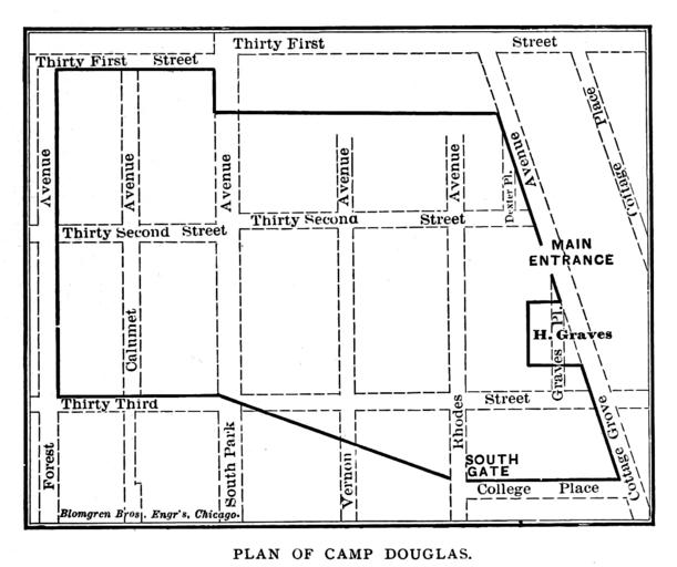
| Keywords: Plan of Camp Douglas, 1864-65.png Map Dotted lines show streets a located in 1884 Andreas A T Alfred Theodore 1839-1900 Published in 1884 https //archive org/stream/historyofchicago02andr page/300/mode/2up PD-old map date 1884 Chicago 41 8331371/41 8389178 -87 6199852/-87 6109509 warped print date 1884 Internet Archive accession number other versions Camp Douglas Old maps of Chicago 1865 | ||||