MAKE A MEME
View Large Image
| View Original: | Piri Reis map interpretation RG.jpg (800x645) | |||
| Download: | Original | Medium | Small | Thumb |
| Courtesy of: | commons.wikimedia.org | More Like This | ||
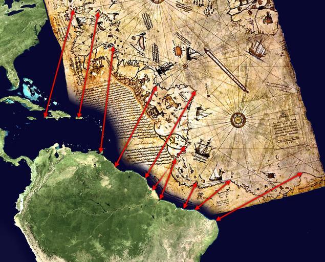
| Keywords: Piri Reis map interpretation RG.jpg Mögliche Interpretation des Südteils der Karte des Piri Reis Possible interpretation of the Piri Reis map Middle and south america on the left north africa in the upper right south atlantic ocean in the middle <p>An alternate and more likely interpretation of those ancient map can be found here File Piri Reis map interpretation jpg own based on de Datei Karte des piri reis jpg and File Whole world - land and oceans jpg Both sources are public domain 2006-03-29 TMg based on an image by Segantini <gallery> File Piri Reis map interpretation jpg Other interpretation </gallery> Maps by Piri Reis Old maps of South America | ||||