MAKE A MEME
View Large Image
| View Original: | Picture_looks_South_45_degrees_W_from_Red_Cone_across_upper_Copeland_and_Bybee_Creeks._-_NARA_-_298919.jpg (3000x1730) | |||
| Download: | Original | Medium | Small | Thumb |
| Courtesy of: | commons.wikimedia.org | More Like This | ||
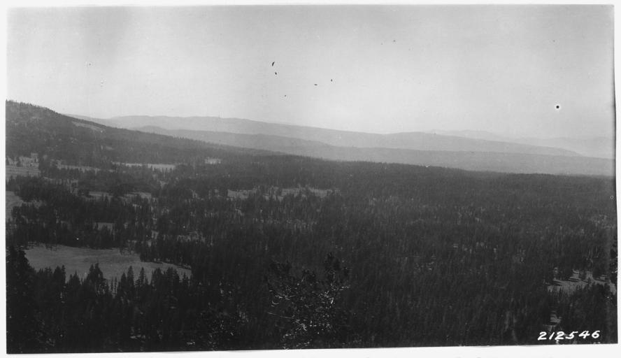
| Keywords: Picture looks South 45 degrees W from Red Cone across upper Copeland and Bybee Creeks. - NARA - 298919.jpg Scope and content Series contain a number of reports relating to boundaries and various Park areas Many of these have photos General notes 298919 Local identifier Department of the Interior National Park Service Crater Lake National Park 03/02/1934 - NARA's Pacific Alaska Region Seattle NRIAS 6125 Sand Point Way NE Seattle WA 98115-7999 other date ~ 1935 Record group Record Group 79 Records of the National Park Service 1785 - 2006 Record group ARC 408 Park Files compiled ca 1919 - 1953 Series ARC 298879 File unit File unit ARC Variant control numbers NAIL Control Number NRIS-79-CRLAKESUBJ602-212546 Other versions <gallery> File Picture_looks_South_45_degrees_W_from_Red_Cone_across_upper_Copeland_and_Bybee_Creeks _-_NARA_-_298919 tif tif File Picture_looks_South_45_degrees_W_from_Red_Cone_across_upper_Copeland_and_Bybee_Creeks _-_NARA_-_298919 jpg jpg </gallery> NARA-cooperation PD-USGov Crater Lake National Park | ||||