MAKE A MEME
View Large Image
| View Original: | Pensacola1700.jpg (1324x1000) | |||
| Download: | Original | Medium | Small | Thumb |
| Courtesy of: | commons.wikimedia.org | More Like This | ||
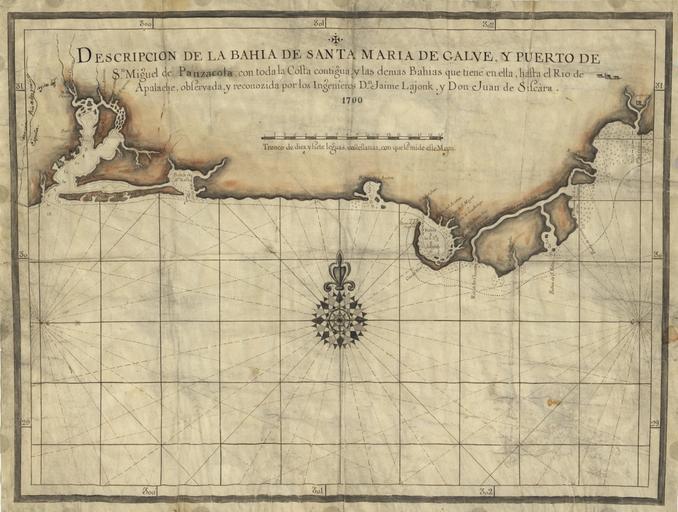
| Keywords: Pensacola1700.jpg Early Spanish map of Pensacola Bay and areas immediately to the east The Presidio Santa Maria de Galve site of present-day Pensacola Florida is visible on the map's left while San Luis de Apalachee roughly present-day Tallahassee is visible on the map's far right LOC-map g3932f lh000870 1700 Jaime Lajonk History of Pensacola Old maps of Florida PD-old-100 1700 | ||||