MAKE A MEME
View Large Image

| View Original: | Penang_Harbour_HMS_Magpie_1884_Penang_Island_map.jpg (3072x4096) | |||
| Download: | Original | Medium | Small | Thumb |
| Courtesy of: | commons.wikimedia.org | More Like This | ||
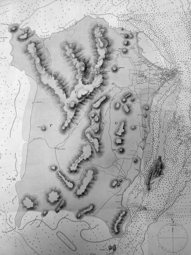
| Keywords: Penang Harbour HMS Magpie 1884 Penang Island map.jpg en Extract showing Penang Island of the map labelled MALACCA STRAIT PULO PENANG PENANG HARBOUR Surveyed by Commander the Hon Foley C P Vereker R N assisted by Lieut C G Frederick A Balfour H Belam H Douglas and H Evans R N H M S Magpie 1884 http //www lib cam ac uk/deptserv/maps/ Cambridge University Library Map Department http //www aim25 ac uk/cgi-bin/vcdf/detail coll_id 6586 inst_id 10 Foley Charles Prendergast Vereker 1884 File Penang_Harbour_HMS_Magpie_1884_Penang_map jpg Maps of Penang PD-old-100 | ||||