MAKE A MEME
View Large Image

| View Original: | Pays des P-O Salanque locator map.svg (780x485) | |||
| Download: | Original | Medium | Small | Thumb |
| Courtesy of: | commons.wikimedia.org | More Like This | ||
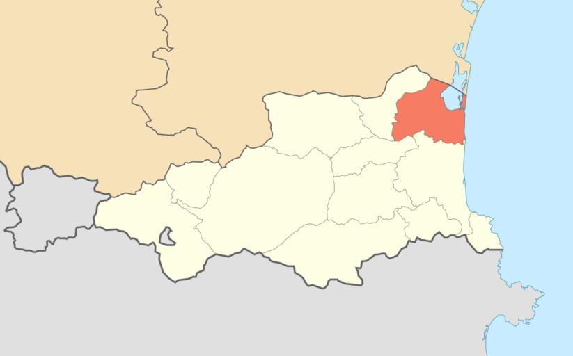
| Keywords: Pays des P-O Salanque locator map.svg 42 36 00 N 2 30 00 E scale 600000 <br/> Locator map of the natural region of the Salanque in the department of the Pyrénées-Orientales France Carte de localisation de la région naturelle française de la Salanque dans le département des Pyrénées-Orientales <br/> Mercator projection<br/> Central meridian 002° 30' E<br/> Origin latitude 42° 36' N<br/> Scale n/a Own <br/> Sources of data <br/> NGDC GSHHS<br/> FR File Carte-pays-po png created temporarly by fr utilisateur Flodu66 with no licence stated 2009-07 Eric Gaba Sting - fr Sting Released in Public Domain <gallery> File Pays_des_P-O_Aspres_locator_map svg Aspres File Pays_des_P-O_Capcir_locator_map svg Capcir File Pays_des_P-O_Cerdagne_locator_map svg Cerdagne File Pays_des_P-O_Conflent_locator_map svg Conflent File Pays_des_P-O_Corbières_catalanes_locator_map svg Corbières catalanes File Pays_des_P-O_Côte_Vermeille_locator_map svg Côte Vermeille File Pays_des_P-O_Fenouillèdes_locator_map svg Fenouillèdes File Pays_des_P-O_Massif_des_Albères_locator_map svg Massif des Albères File Pays_des_P-O_Plaine_du_Roussillon_locator_map svg Plaine du Roussillon File Pays_des_P-O_Ribéral_locator_map svg Ribéral File Pays_des_P-O_Salanque_locator_map svg Salanque File Pays_des_P-O_Vallespir_locator_map svg Vallespir </gallery> Atelier graphique carte Locator maps of natural regions of France Pays des Pyrénées-Orientales SVG locator maps of France Pyrénées-Orientales | ||||