MAKE A MEME
View Large Image
| View Original: | Pays-Bas.PNG (528x756) | |||
| Download: | Original | Medium | Small | Thumb |
| Courtesy of: | commons.wikimedia.org | More Like This | ||
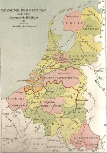
| Keywords: Pays-Bas.PNG Map of Belgium and the Netherlands between 1815 and 1830 Author Gochet Alexis-Marie 1835-1910 own Fabien1309 1815-VerenigdKoninkrijkNederlanden svg PD-old Old maps of Belgium Old maps of France Old maps of Luxembourg Old maps of the Netherlands | ||||