MAKE A MEME
View Large Image
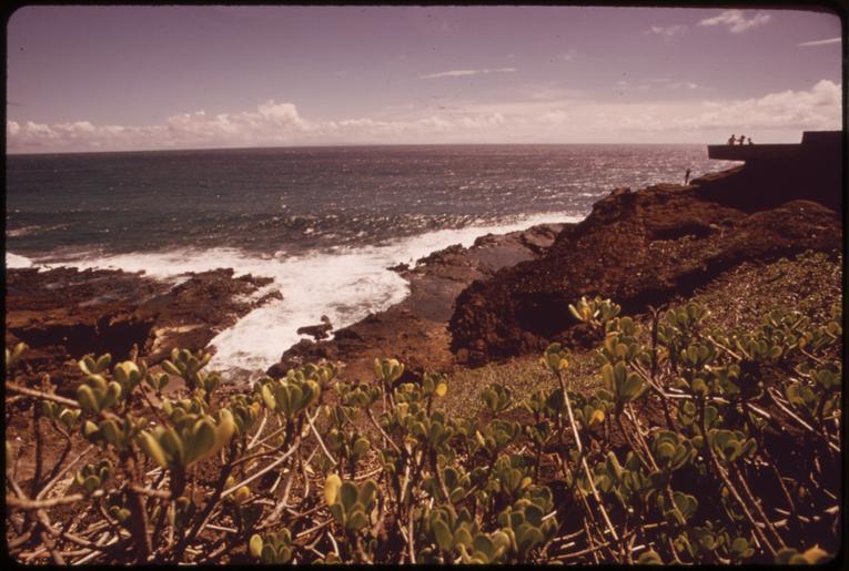
| View Original: | PART_OF_CONSERVATION_ZONE_ALONG_HIGHWAY_72._LAND_USE_IN_THIS_AREA_IS_CONTROLLED_BY_THE_STATE_DEPARTMENT_OF_LAND_AND..._-_NARA_-_553773.tif (3000x2019) | |||
| Download: | Original | Medium | Small | Thumb |
| Courtesy of: | commons.wikimedia.org | More Like This | ||
| Keywords: PART OF CONSERVATION ZONE ALONG HIGHWAY 72. LAND USE IN THIS AREA IS CONTROLLED BY THE STATE DEPARTMENT OF LAND AND... - NARA - 553773.tif Scope and content General notes 553773 Local identifier 412-DA-11314 Environmental Protection Agency 12/02/1970 - NARA-Author O'Rear Charles 1941- Photographer 3403717 <br /> Oahu Honolulu county Hawaii United States North and Central America island 4210166 21 433 -157 97 <br /> Still Picture Records Section Special Media Archives Services Division NWCS-S National Archives at College Park 8601 Adelphi Road College Park MD 20740-6001 10/1973 Record group Record Group 412 Records of the Environmental Protection Agency 1944 - 2006 Record group ARC 708 DOCUMERICA The Environmental Protection Agency's Program to Photographically Document Subjects of Environmental Concern compiled 1972 - 1977 Series ARC 542493 File unit File unit ARC Variant control numbers Agency-Assigned Identifier 189/34/011314<br /> NAIL Control Number NWDNS-412-DA-11314 yes Other versions <gallery> File PART_OF_CONSERVATION_ZONE_ALONG_HIGHWAY_72 _LAND_USE_IN_THIS_AREA_IS_CONTROLLED_BY_THE_STATE_DEPARTMENT_OF_LAND_AND _-_NARA_-_553773 tif tif File PART_OF_CONSERVATION_ZONE_ALONG_HIGHWAY_72 _LAND_USE_IN_THIS_AREA_IS_CONTROLLED_BY_THE_STATE_DEPARTMENT_OF_LAND_AND _-_NARA_-_553773 jpg jpg </gallery> NARA-cooperation PD-USGov Charles O'Rear 1973 in Hawaii Geography of Oahu NARA TIF images with categorized JPGs | ||||