MAKE A MEME
View Large Image
| View Original: | Ost Franken Reich 1000.PNG (372x557) | |||
| Download: | Original | Medium | Small | Thumb |
| Courtesy of: | commons.wikimedia.org | More Like This | ||
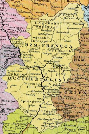
| Keywords: Ost Franken Reich 1000.PNG Map of en Rhenish Franconia at 1000 ac Karte des de Herzogtum Westfranken um 1000 nC thumb left Heiliges Römisches Reich 1000 Markus Schulenburg PD-release Old maps of the Holy Roman Empire Maps of the history of Hesse | ||||