MAKE A MEME
View Large Image
| View Original: | Ortsplan_Reuth.jpg (624x576) | |||
| Download: | Original | Medium | Small | Thumb |
| Courtesy of: | commons.wikimedia.org | More Like This | ||
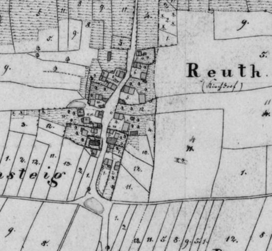
| Keywords: Ortsplan Reuth.jpg Ortsplan Reuth 1826 Uraufnahme mit Hausnummern Karte 1 5000 NW 55-24 1826 des Bayerischen Landesvermessungsamtes 1826 Author PD-old Reuth Historical maps of Neuendettelsau 1826 in Neuendettelsau 1826 Neuendettelsau | ||||