MAKE A MEME
View Large Image
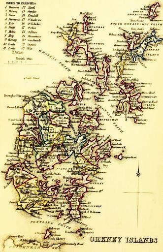
| View Original: | ORKNEY_ISLANDS_Civil_Parish_map_c.1854.jpg (3880x6000) | |||
| Download: | Original | Medium | Small | Thumb |
| Courtesy of: | commons.wikimedia.org | More Like This | ||
| Keywords: ORKNEY ISLANDS Civil Parish map c.1854.jpg en ORKNEY ISLANDS Civil Parish map 1854 The Topographical Statistical and Historical Gazetteer of Scotland Vol II I-Z http //archive org/stream/topographicalsta02edin page/n480/mode/1up 2013-06-25 14 48 26 http //archive org/stream/topographicalsta02edin page/n480/mode/1up The Topographical Statistical and Historical Gazetteer of Scotland 1854 Vol II I-Z http //archive org/stream/topographicalsta02edin page/n480/mode/1up pd-old Uploaded with UploadWizard Maps of the Orkney Islands History of the Orkney Islands | ||||